


Ziqitza
mapping ambulances in rural India
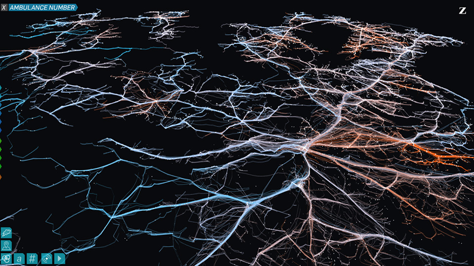
Acumen approached OCR with the task of highlighting one of their newest social ventures, Ziqitza Health Care Limited, which provides ambulance services to rural parts of India. The data they wanted to visualize tracked an entire incident, from the emergency call, the ambulance pickup, the process of determining the severity of the injury and whether it could be treated on site to finally transferring the patient to a larger hospital. The dataset is comprised of a month of operations in the state of Odisha in February 2014.
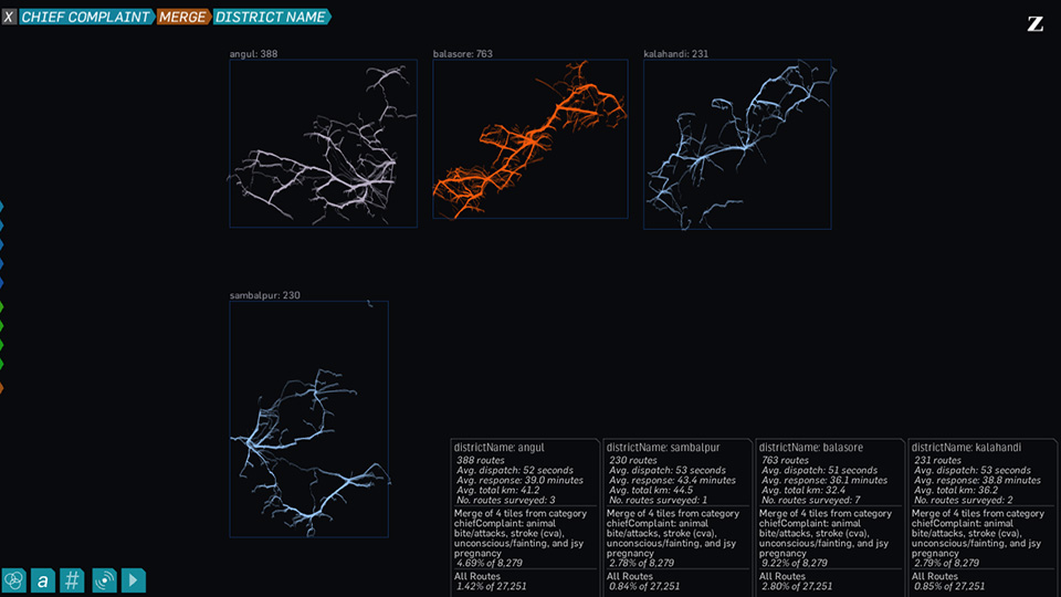
The visualization animates the ambulance activity across 27,288 incidents throughout the state. By overlaying the geolocated ambulance routes, main arteries get brought to the foreground - reflecting the road infrastructure, but also where there are more people living. Longer ambulance routes demonstrate more remote patients and where it might be useful to locate additional services so that the ambulances don’t have to travel such long distances. Overlaying maps of current road infrastructure also identify potential locations for infrastructure improvements.
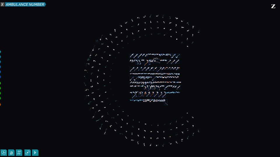
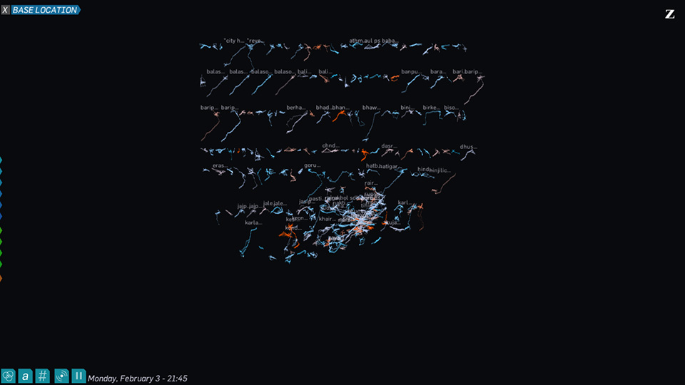
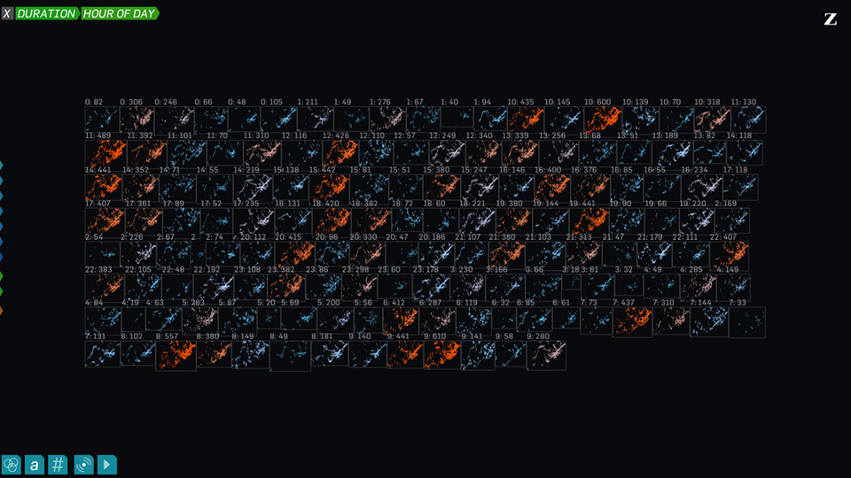
The visualization allows you to sort by base location, day of the week, hour, ambulance taking the trip, type of emergency or complaint, and duration of ambulance route. Sorting allows you to see where there are more people living, and more need for services, what the majority of illnesses in particular regions are. Using tools like this allows Ziqitza to propose health services that would be best for the communities they serve.